One-Stop Maritime Applications
Next-generation web-app powered by industry-leading algorithms.
- Distance Table
- Vessel Tracking (AIS)
- Weather
- And More
Sea Routing Features
“Any-to-Any” Routing
Use any sea location for calculation. Port to Port, Point to Port or Point to Point.
17000+ Locations
Database containing ports, blocks and offshore installations.
Channel Selection
Cover different scenarios by closing or opening channels (Suez, Panama, Kiel) and passages (Northeast, Northwest).
Custom Nogo Areas
Prohibit passage through shallow channels, avoid bad weather or customize routes based on vessel type. Simply by drawing custom polygons that our routing algorithm should avoid.
Multi-leg Routing
Customize voyage calculations by setting routing waypoints mid-way or plan multiple legs.
(S)ECA Distance
Total of 9 ECA areas around the globe integrated. Automatically avoid/minimize distance travelled within.
HRA & JWC Listed Areas
Both the High Risk Area as well as Joint War Committee Listed Areas included. Automatically avoid/minimize distance travelled within.
Store Points of Interest
Save time by storing frequently used locations or waypoints as points of interest.
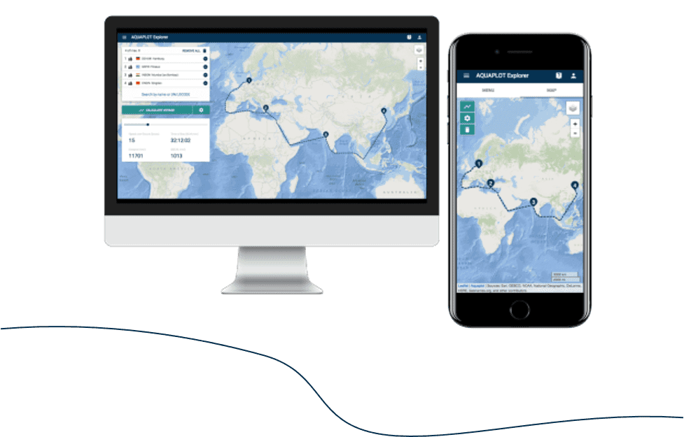
Explorer works across all your devices.
No credit card required.Go to sign up